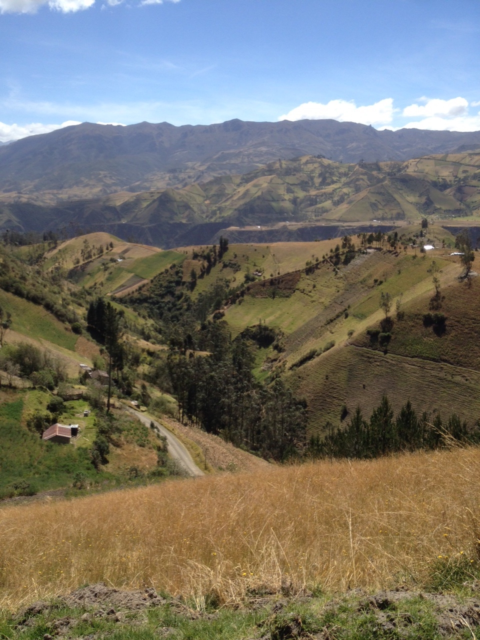
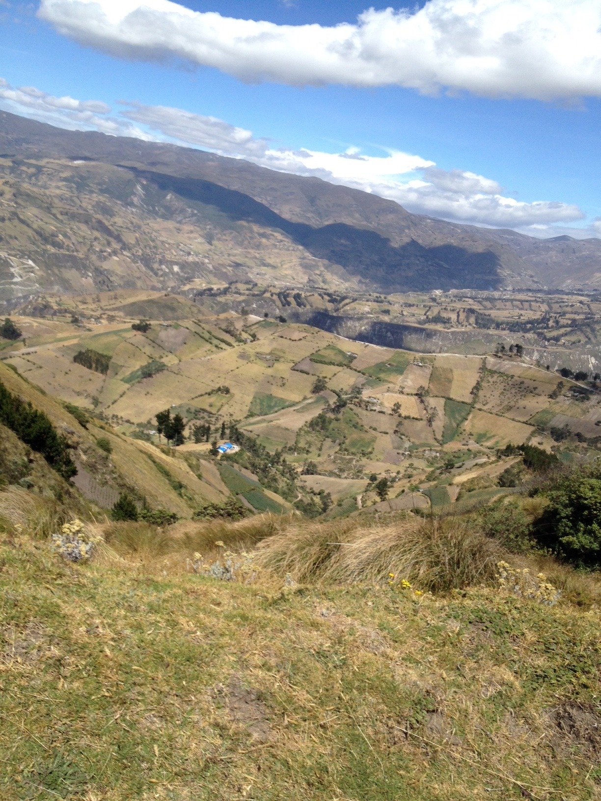
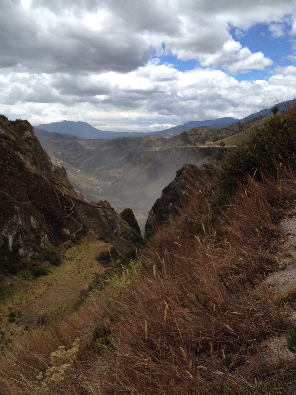
Quilatoa is a crater, or more specifically a cauldron-like formation resulting from a massive volcanic eruption. In this case, the eruption was 800 years ago. Once the volcano collapsed into the ground, the hole left behind filled with water. So now it is referred to as Lake Quilatoa. It's about 3 kilometers wide. Tourists can hike down, rent kayaks and even rent donkeys for the hike up if you're not feeling up to the 75-90 minute uphill, sandy climb.
Instead of taking the local bus to the crater, we hired a driver. He picked us up at 9:30 for our 25 minute drive. Less than ten minutes in, we hit a construction zone. The road was temporarily closed. The roads in this part of the mountains are unpaved and they are trying to fix that. We had to sit there and watch dirt being moved around for about 45 minutes. Buses and cars were lined up. It was incredibly dusty so we just stayed in the car. I think we arrived in Quilatoa about 11:15 annoyed, but ready to walk.
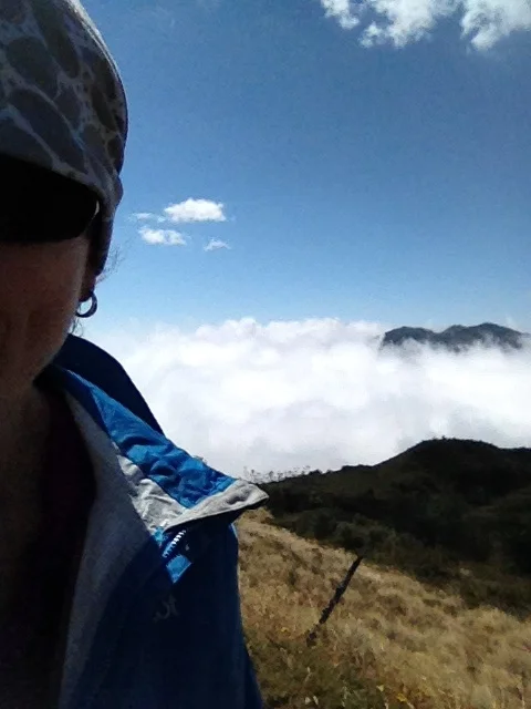
There is nothing to block any wind this high up at the crater's rim. It doesn't seem to matter on the day; the wind just cuts through you. We had everything on us to keep us warm. We wore our 'Buffs' to protect our faces from blowing dust and ears from the cold.
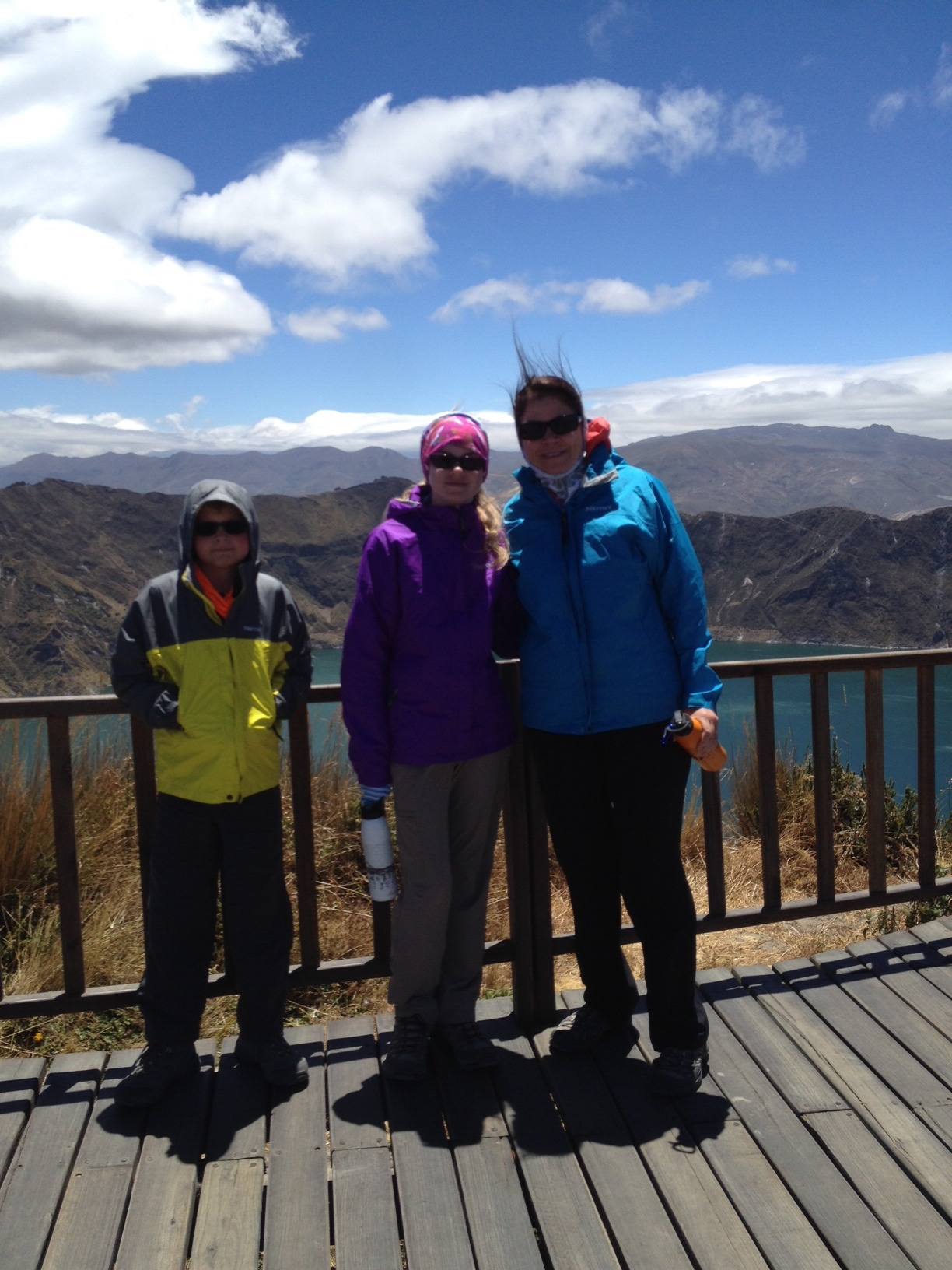
It might not look windy until you see my hair....yikes...

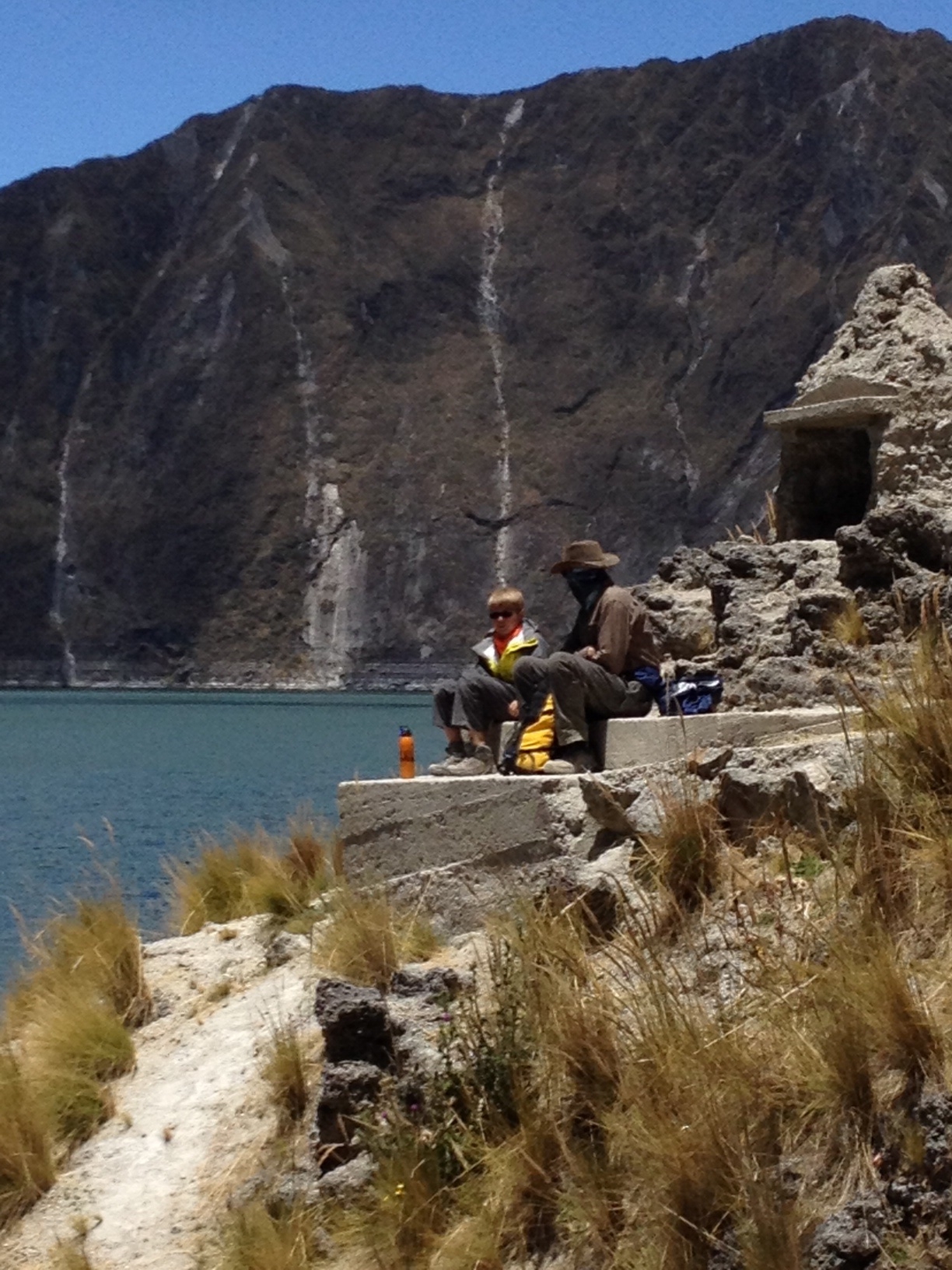
We easily walked down to the lake. It took us about 35 minutes. We dodged donkeys and everything they left behind. It was much warmer at the bottom and of course, there was no wind.

Quick selfie on the way down

Made it to the bottom

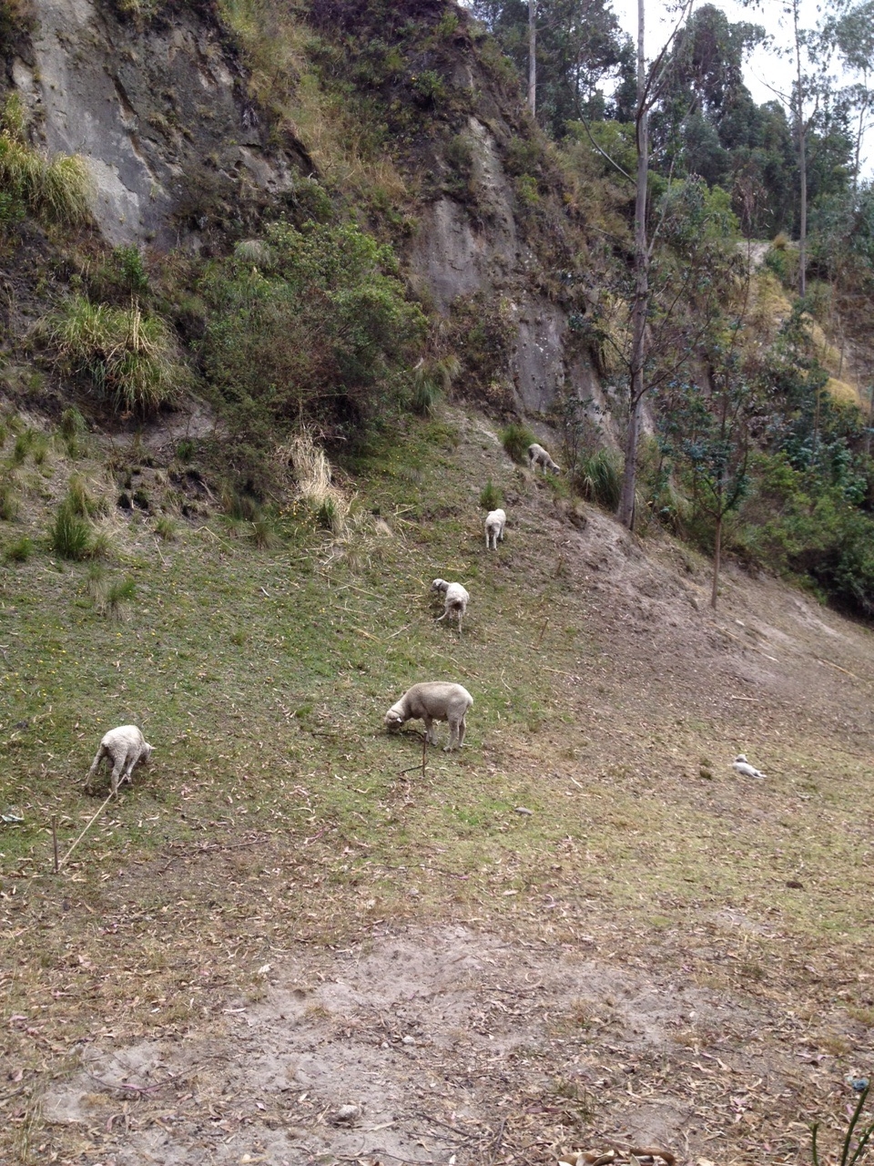
Alpacas wandering around

kayaks for rent
We found a nice place to eat our lunches. The alpacas got a little too close, but other tourists came around to snap photos, so they were easily distracted. We didn't rent any kayaks. As many boating experiences we've seen so far, they didn't look too safe.
A great spot for lunch

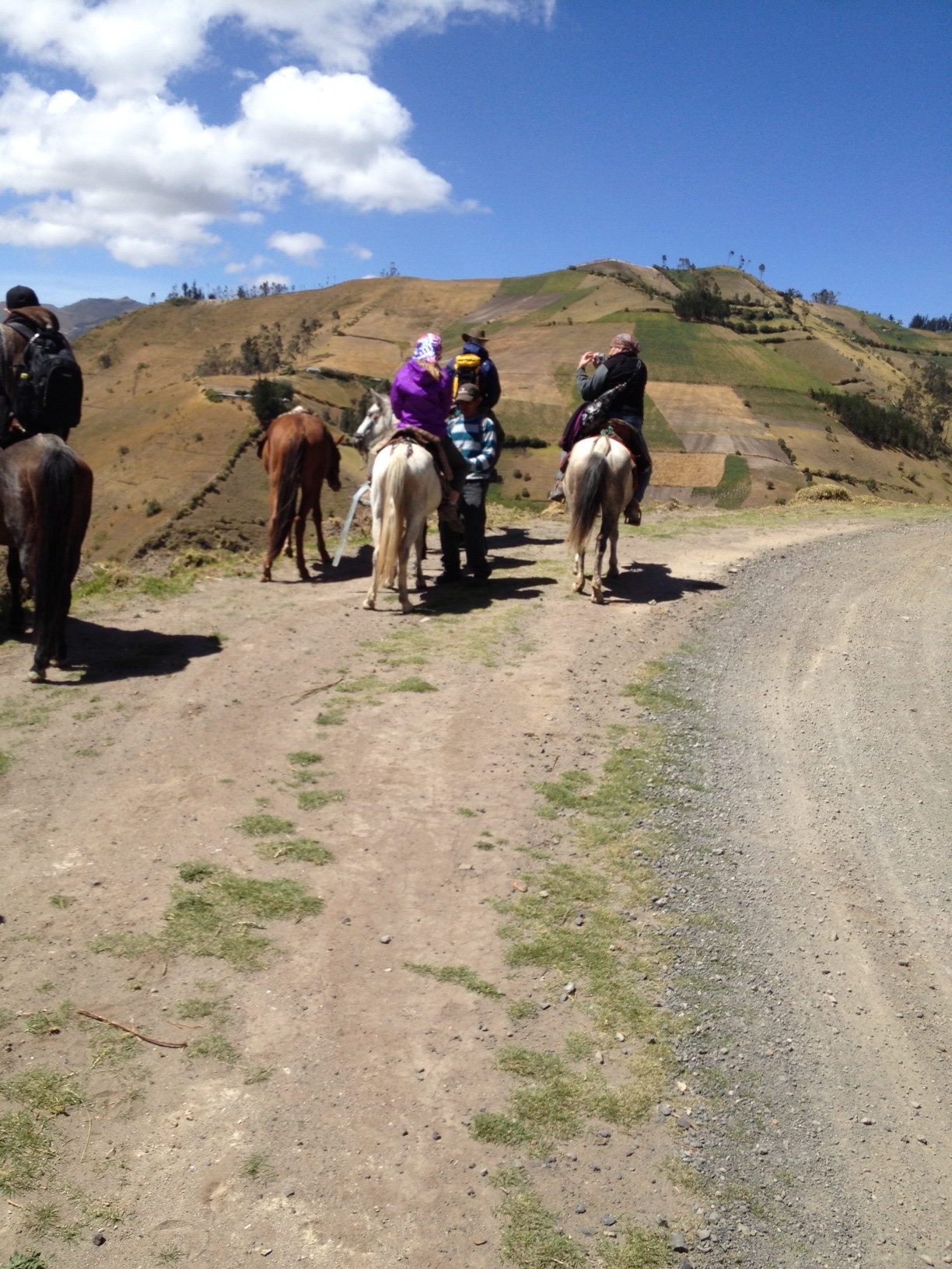
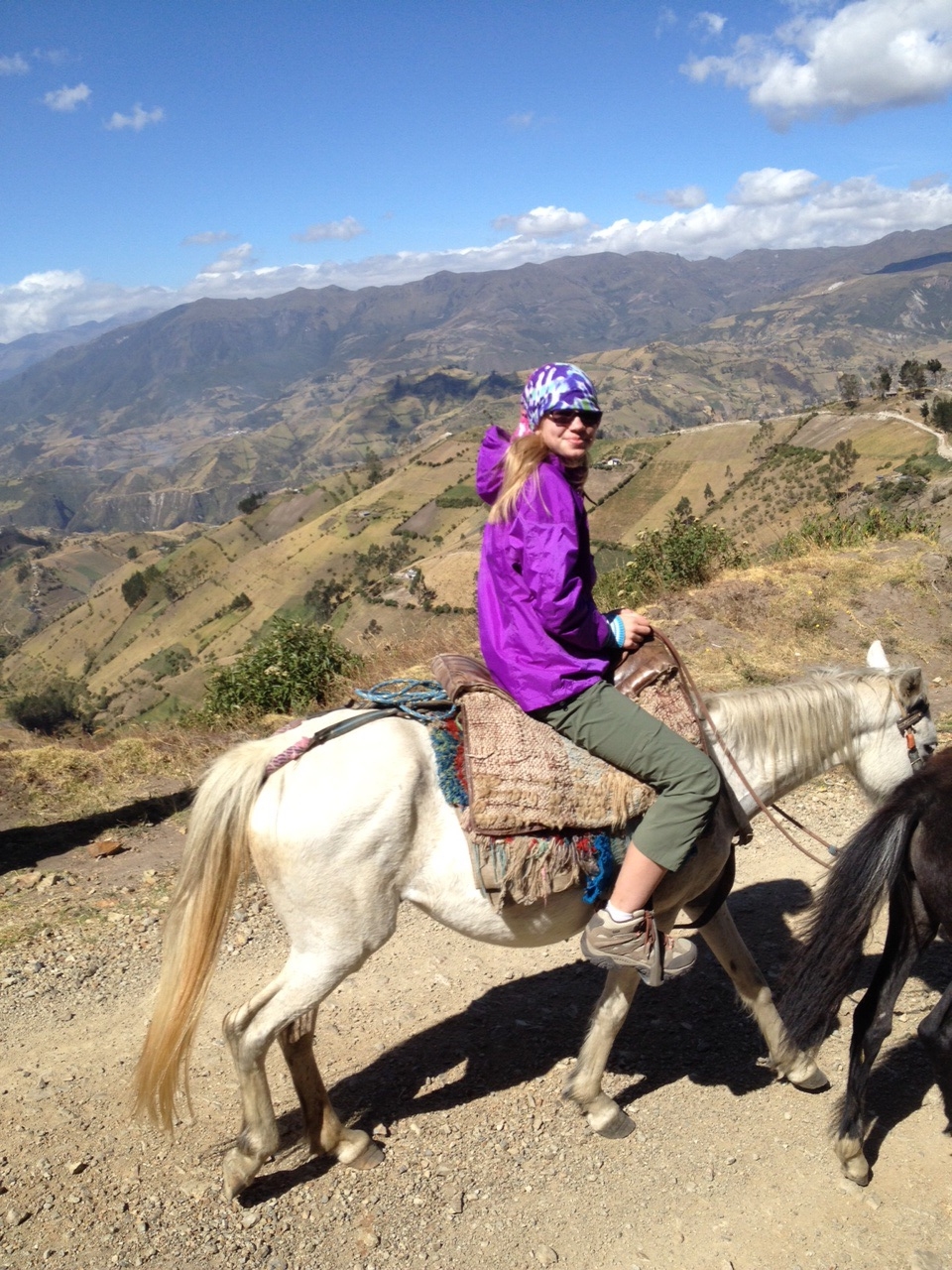
We didn't stay at the bottom too long and had decided to walk and not take donkeys back up (even though we were approached many times to rent them).
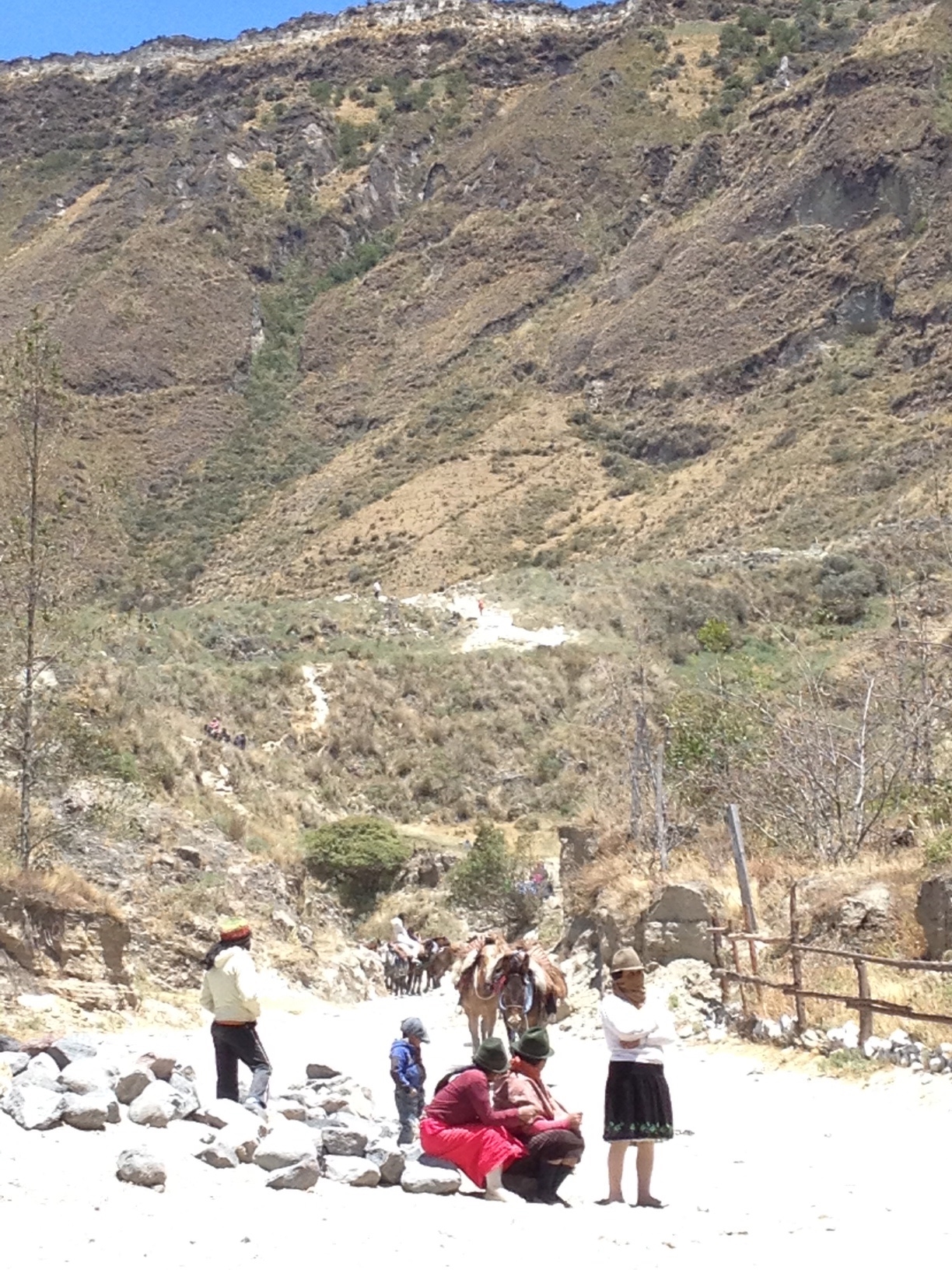
Traditional Ecuadorian families wait at the bottom to rent donkeys. They climb up and down with them several times a day.

Just the beginning of our climb back

We had to take a break to breathe and to see how far we had come
It took us about 75 minutes to climb back up. The trail was very soft in spots making it difficult to gain traction and move forward. We were pretty winded and just wanted to head back to the Black Sheep Inn. Fortunately, there was no construction this time.